February 13, 2019
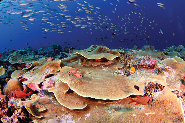
Piecing together the big picture of coral reef health
Today, news of damaged or devastated coral reefs has become commonplace. Reefs face many threats, including bleaching, disease, overfishing, …
The EARTH archive
Explore the archive by subject.
30 articles · Page 1 of 2
February 13, 2019
Today, news of damaged or devastated coral reefs has become commonplace. Reefs face many threats, including bleaching, disease, overfishing, …
January 17, 2019
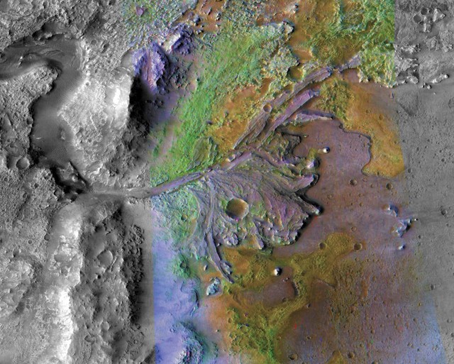
NASA has sent four rovers to Mars, and the fifth — the Mars 2020 Rover — is slated to launch in summer 2020 for an early 2021 arrival. Selecting …
November 8, 2018
The world’s oldest national geological survey is 183 years old; the youngest is 19. These two, and every other one out there, represent countries …
May 23, 2018
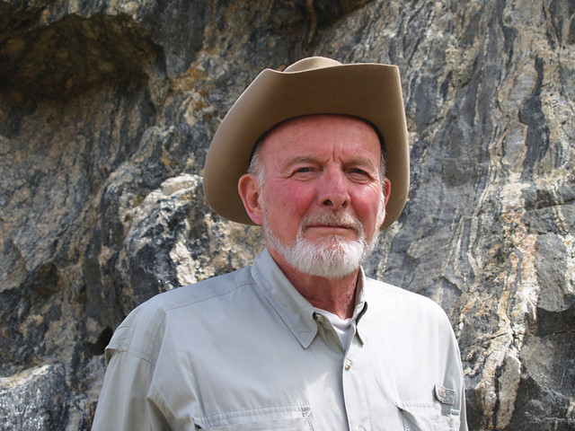
Geologist Jack Reed spent his career studying rocks the most strenuous way someone can — by climbing them. During much of his 47 years with the …
April 10, 2018
Before NASA’s Cassini mission, which ended in 2017 after 13 years orbiting Saturn, little was known about the surface of the planet’s largest …
April 10, 2018
Underwater volcanic eruptions happen every day, but because of the vastness of the ocean and the great depth of water blocking the view, catching …
March 20, 2018
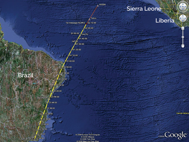
In the early morning hours of March 8, 2014, Malaysia Airlines flight 370 (MH370), en route from Kuala Lumpur to Beijing, lost communication with …
February 27, 2018
From Antarctica to the Arctic; from polar caps, permafrost and glaciers to ocean-rafted sea ice; and from burly bears to cold-loving microbes, …
January 12, 2018
Off the coast of Texas, a collection of fossil coral reefs sits under 60 meters of water — relics from 20,000 years ago, when the sea surface was …
December 14, 2017
Coral reef cover is known to have decreased over the past few decades, but longer term estimates of coral cover have been difficult to …
September 19, 2017
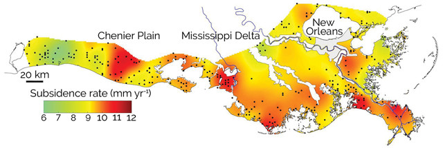
Since the 1930s, Louisiana has lost an area of coastal wetlands larger than the state of Delaware. A new map, published in GSA Today, charts the …
September 14, 2017
At first glance, it might seem there’s little more to the Arctic than frozen tundra, ice and seawater, but the top of the world is home to some …
June 19, 2017
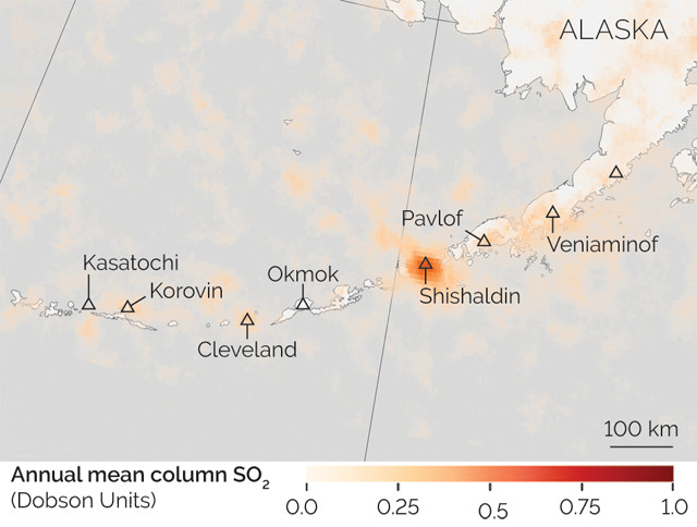
Volcanoes may not always be erupting ash or lava, but that doesn’t mean they’re not venting other materials. Many, in fact, continuously spew …
April 6, 2017
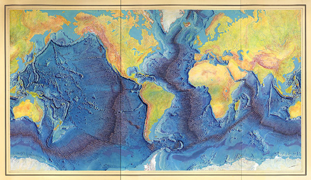
Oceanic crust formed at mid-ocean spreading centers, like the Mid-Atlantic Ridge, is recycled back into the mantle at subduction zones. Aside …
August 23, 2016
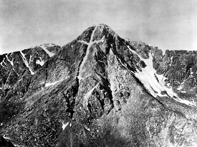
The rumors had persisted for decades, some said for centuries. Deep in the Colorado Rockies was a mystical mountain. Upon the face of a towering …
August 16, 2016
Mercury’s surface is arid, gray and scarred by craters over much of its landscape. Given its close proximity to the sun, a manned trip to Mercury …
July 6, 2016
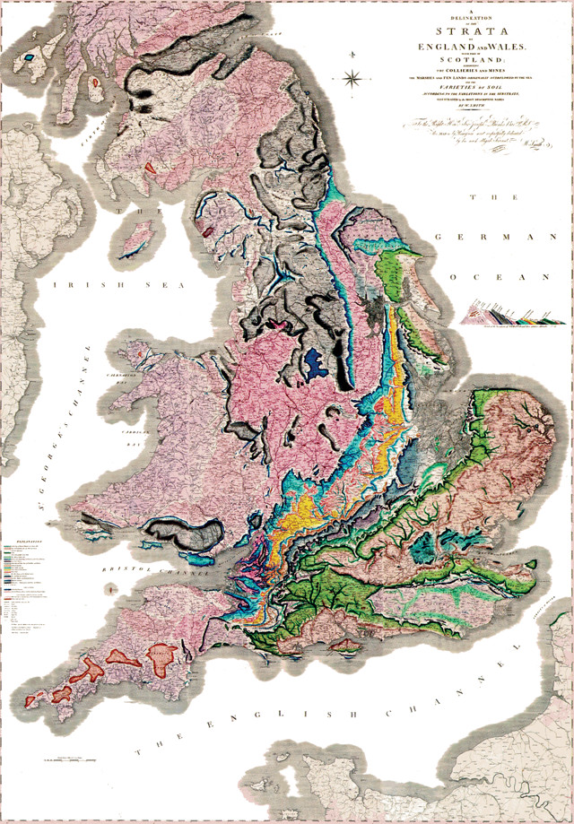
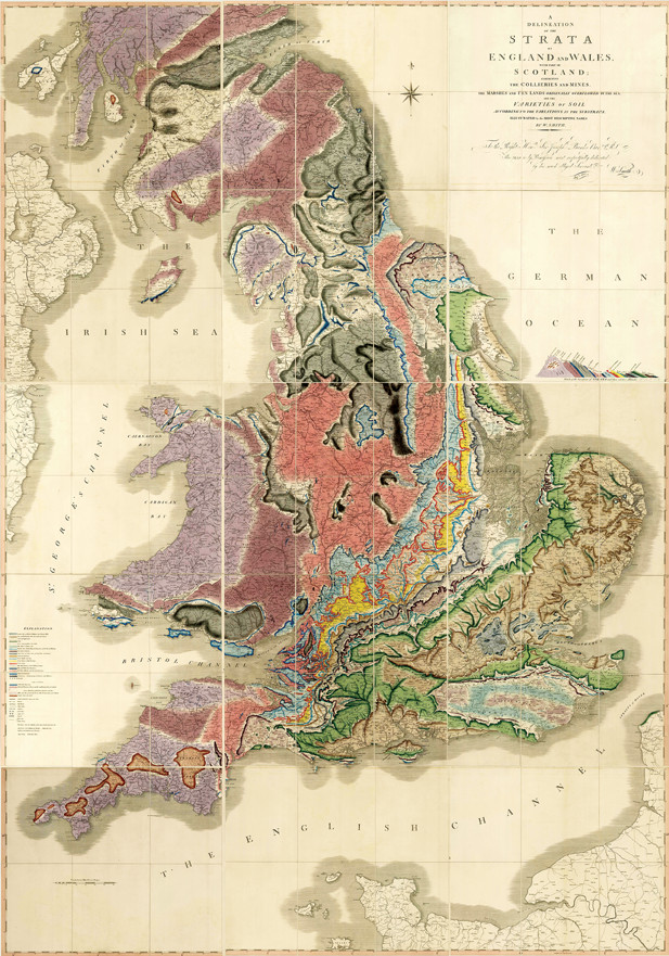
Last year marked the 200th anniversary of the publication of what many consider the greatest geologic image ever produced: William Smith’s epic …
June 17, 2016
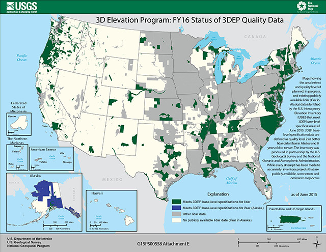
High-resolution topographic data are critical for a number of tasks — from managing flood risks to ensuring aviation safety to mapping hiking …
June 16, 2016
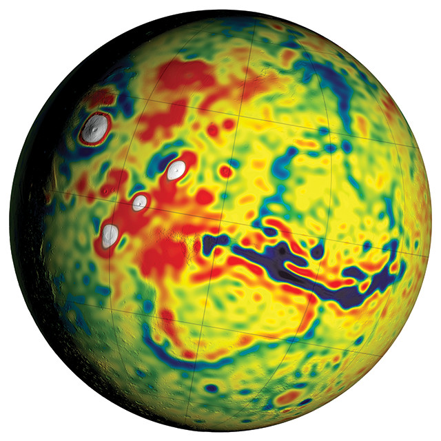
With two rovers patrolling the surface of Mars, five spacecraft orbiting above it, and scientists here on Earth studying the Red Planet from …
June 15, 2016
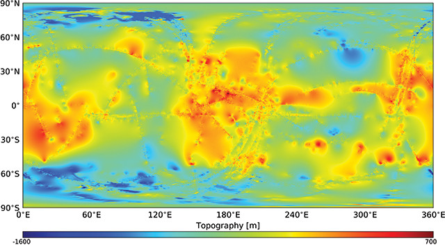
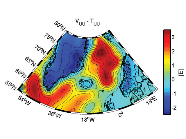
Gravity differs from place to place around Earth because of the uneven distribution of mass across and within the planet. Scientists can study …
May 20, 2016
Gliding through pitch-black waters 50 meters off the ocean bottom, the “D. Allan B” can sense the seafloor below in striking clarity, despite the …
May 16, 2016
All high-latitude coastlines with pronounced relief are characteristically incised by deep fjords — carved by repeated glacial cycles — reaching …
April 21, 2016
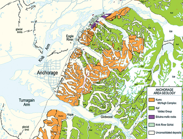
When it comes to natural beauty, Alaska’s rugged, massive landscape is an embarrassment of riches, with towering mountains and lush forests, …
April 13, 2016
“When Eldridge Moores was 10 years old, his family lived in Crown King, Ariz., a tiny, remote mining settlement high in the rugged Yavapai …