
by Jesse Davenport Monday, April 7, 2014
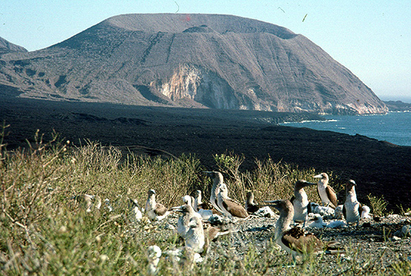
A view of an active volcano on Isabela Island in the Galapagos. Credit: Doug Toomey.
Geological models have long suggested the mantle plume that built the Galápagos islands lies below Fernandina Island. Using a novel combination of seismic techniques, however, scientists have found a mantle anomaly that appears to be the Galápagos plume located 150 kilometers southeast of Fernandina Island. The new findings better explain the ongoing volcanic activity and also shed light on interactions between the mantle and crust, researchers say.
The Galápagos Islands may be best known for their role in helping Charles Darwin develop his ideas about natural selection and evolution, but they’re also a very important region for understanding how Earth generates magma and releases it to the surface, says Doug Toomey, a geophysicist at the University of Oregon and a co-author of a study in Nature Geoscience detailing the new findings.
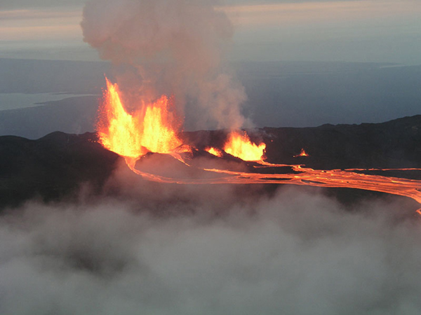
The most active volcano in the Galapagos archipelago, Sierra Negra, erupts. Credit: Doug Toomey.
Similar to other oceanic islands, such as Hawaii, the Azores or Réunion, the Galápagos were produced by a mantle plume, a column of hot magma not associated with subduction that rises from Earth’s mantle and crust to erupt at the surface. Plumes rise because they are hotter and less dense than surrounding mantle rock. But not much is known about how mantle plumes and the lithosphere — the outermost layer of Earth that includes the uppermost mantle and crust — interact with each other, Toomey says. Models have made many predictions of what that interaction looks like, he says, but when we look inside Earth’s interior “we are seeing things that are distinctly different.”
Toomey, Darwin Villagómez, also affiliated with the University of Oregon, and their colleagues used a multiprong approach to scan Earth’s interior below the Galápagos. They started with data from 10 seismic stations they had installed throughout the archipelago between 1999 and 2003. However, this only gave them a glimpse of the structure of the crust and mantle to depths of about 125 kilometers — not deep enough, Toomey says. The exciting discoveries came, he says, when the team extended their scans to about 300 kilometers deep by using teleseismic earthquakes — seismic activity that is more than 1,000 kilometers away from the measurement — and observing how long it took seismic waves to travel back to the stations. Using these data, the team resolved the structure of Earth’s interior underneath the Galápagos both laterally and vertically.
Surprisingly, Toomey says, the mantle plume was not where the team had expected it. Based on previous research, the plume was thought to be following in the direction of the Nazca Plate, which moves from west to east. However, Toomey and his colleagues found that it is moving north to south, perpendicular to the motion of the Nazca Plate. The discovery, he says, explains the ongoing volcanic activity in the Galápagos: a dozen currently active volcanoes and geochemical and isotopic signatures that he says had been a paradox in the past.
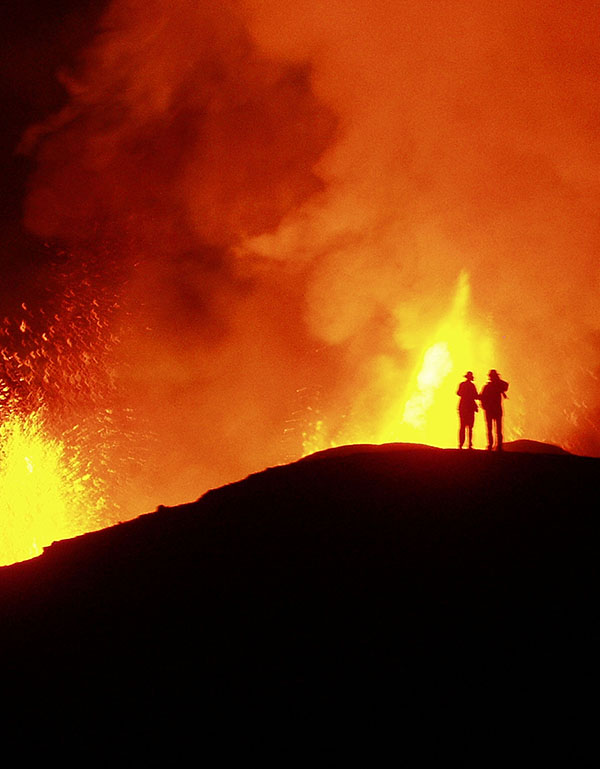
The 2005 eruption of the Sierra Negra volcano in the Galapagos. According to new research, Sierra Negra may be the closest volcano to the Galapagos mantle plume. Credit: Doug Toomey.
This paradox may be explained by the fluid dynamics of the asthenosphere, the mantle layer below the lithosphere. Instead of being dragged along the base of the lithosphere, as some models have suggested, it seems that plume material is indeed dragged to the mid-ocean ridge along a flow in the mid-athenosphere. This, Toomey says, helps explain the geochemical and isotopic signatures seen in the Galápagos.
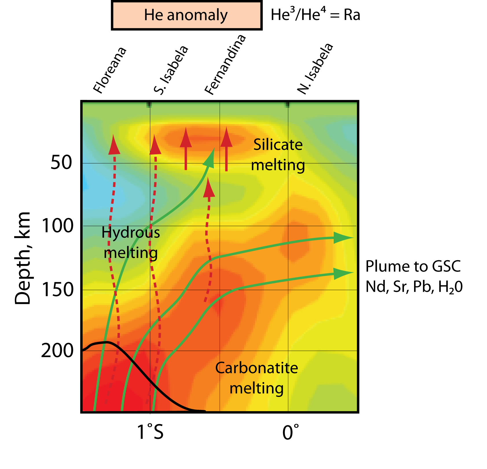
A tomographic image of Earth's interior beneath the Galapagos Islands showing the location of the mantle plume. Credit: Doug Toomey.
The findings also provide an explanation as to why volcanoes on the islands of Fernandina and Isabela are the most active: because they are closest to the plume’s location, Toomey says. The activity has been particularly difficult to understand because theories and models suggest that new eruptions should move ahead of the plate, similar to activity observed at the Yellowstone hot spot or the Hawaiian Islands, Toomey says.
The team’s methods individually aren’t new, but the combination of using surface and deep waves together is a “huge advancement,” says Garret Ito, a marine geophysicist at the University of Hawaii who was not involved in the research. “This is the first study to connect the deeper and upper mantle,” Ito says, and it has resulted in “a single, clearer and less ambiguous” picture of the subsurface, particularly of the upper 200 kilometers. It’s “one of the best images of Earth’s interior” we have, he says.
In addition, Ito says, the study’s authors address some very basic questions about mantle plume hot spots in general and how water affects magma properties. One of the most important aspects of the paper, Ito says, is the confirmation of the location of the plume upwelling leading to the reconciliation of geochemical and isotopic data with this new location.
Knowing why certain volcanoes are active in the Galapagos is especially important for preserving delicate ecosystems and responding to geologic hazards, Toomey says. “Sierra Negra [volcano] is the closest to the plume and is the most frequently erupting volcano in the Galápagos,” he notes, and Isabela Island, where Sierra Negra is located, has “had situations in the past where they had to evacuate tortoises [via helicopters] because of a lava flow.”
An interesting point that came out of the research, Toomey says, is that “the lithosphere and the asthenosphere are not that well coupled together. If they were, everything would travel together.” Instead, he says, the data showed “a decoupling between motions of the plate on the surface and the asthenosphere beneath it. Globally, that is interesting because it is telling us something about how plate tectonics work and it’s also telling us about the geodynamics of plate boundaries.”
© 2008-2021. All rights reserved. Any copying, redistribution or retransmission of any of the contents of this service without the expressed written permission of the American Geosciences Institute is expressly prohibited. Click here for all copyright requests.