by Megan Sever Thursday, January 5, 2012

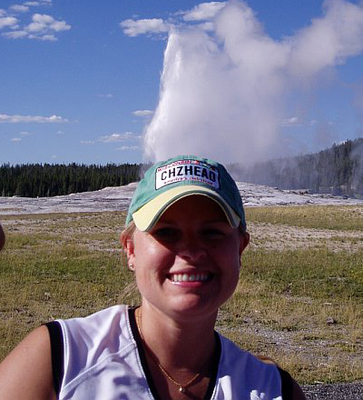
Megan Sever (pictured at Yellowstone) writes Hazardous Living for EARTH. Megan Sever
Thirty years ago today, sometime not long after 8:30 a.m. Pacific time, Mount St. Helens explosively erupted. The shock wave from the eruption washed over Oregon and Washington, shaking the ground up to 400 kilometers away. Two earthquakes followed, at 8:32 and 8:34 a.m. Shortly thereafter, with a tremendous burst, the upper north flank gave way as gas, steam and ash vented outward and sent out an immense landslide of hot rock, mud, water, ash and debris. It was the worst volcanic disaster the United States had seen.
Living in Portland, Ore., I’ve become more aware of hazards like volcanoes and earthquakes. Most of my life has been spent in places where “volcanic disaster” and “subduction-zone earthquakes” were things that happened elsewhere to other people. Now, given that I live not far from the Cascadia subduction zone, I have earthquake insurance on my house. I ski and hike on the flanks of volcanoes. And the stones in my landscaped yard are remnants of flood basalts. I am now keenly aware of the natural hazards that could strike and shake up my life at any given time. (Nonetheless, I hope such disasters remain “happening elsewhere, to other people”!)
Flying into Portland, you can see Mount St. Helens’ gaping crater (now filled with a lava dome that had been steadily growing from October 2004 until late last year) — a reminder of the mound of rock that was once there and now lies strewn through the valleys below. (You can also see several other volcanic peaks looming ominously over the horizon …) The volcano is about an hour’s drive from me —the scars from its 1980 eruption are still visible from I-5 as you drive between Portland and Seattle. Charred trees and debris from the pyroclastic flows remain, and the area is dark and ominous-looking — hardly as verdant as the forests along other parts of this region. Nonetheless, the landscape is recovering. Trees are sprouting up in new places, elk wander the hillsides — which, incidentally, are 50 to 60 meters higher than they were before the eruption.
Today, the devastated area is within the Mount St. Helens National Volcanic Monument, which houses visitor centers, interpretive areas, an observatory and hiking trails, many of which just reopened recently for the summer hiking season. Thousands of tourists, students and scientists visit the monument daily, according to the U.S. Geological Survey (USGS).
Portland’s public radio station has been running a couple of features in the run-up to the anniversary of Mount St. Helens' historic eruption. They’re interesting: stories of what Spirit Lake was like before it was devastated when the pyroclastic flow plunged into it; stories of the ashfall that covered cities and towns throughout the Northwest; and stories of the new ecosystem that’s arisen in the wake of the devastation. It’s hard to imagine such a catastrophe, and I hope I don’t ever have to experience one.
Should you be interested in learning more about Mount St. Helens, read our “Benchmarks” story on the eruption, or visit the website of the USGS Cascades Volcano Observatory, which has a lot of great information on the eruption, the volcano’s historical and more recent activity. The volcano is thought to be the most studied volcano on the planet. One particularly fun piece is the “30 Cool Facts about Mount St. Helens” poster: For example, did you know that most of Mount St. Helens is younger than the Egyptian Pyramids? The volcano is also the youngest, but most active, of all the Cascades volcanoes.
Here’s hoping it doesn’t plan a celebration of its own today — or anytime soon.
© 2008-2021. All rights reserved. Any copying, redistribution or retransmission of any of the contents of this service without the expressed written permission of the American Geosciences Institute is expressly prohibited. Click here for all copyright requests.