
by Lucas Joel Tuesday, May 1, 2018
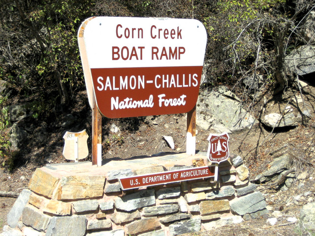
Most river trips down the Main Salmon begin at the boat ramp at Corn Creek Campground, where rafters rig their crafts and have their gear and permit checked by a U.S. Forest Service ranger. Credit: U.S. Department of Agriculture.
If you’re interested in a trip down the Main Salmon, you have two options: put a trip together yourself, or hire a professional outfitter to take you. Permits are required for self-organized trips between June 20 and Sept. 7. Permits are awarded through a lottery via www.recreation.gov, and the lottery application period runs from Dec. 1 to Jan. 31. Though they can be very hard to get, each permit allows a maximum of 25 people to travel the river: In 2017, there were 9,000 applications for just 310 launches. (It may be a good idea to have a lot of people from your group apply.) Permits are not required if you go with an outfitter. For outfitter suggestions, check with the U.S. Forest Service. Lastly, bring a waterproof guidebook that you can keep open as you splash through waves. I highly recommend “RiverMaps Guide to the Middle Fork and Main Salmon Rivers, Idaho," which contains the mileages referenced above.
The closest major airport to the Corn Creek launch is Boise Airport in Boise, Idaho. From there, you can drive to the river, or take an air taxi to the town of Salmon — about 110 kilometers from the launch — and arrange transport to the river from there. If you need a place to stay near Corn Creek, I recommend heading to Salmon. The town is small, but there are few options closer and it has lodging, dining and stores where you can buy last-minute rafting gear if needed. Wherever you stay, the raft trip is one-way, so if you have a car, you will likely want to find a way to shuttle it down river so it’s waiting for you at the pull-out site. Shuttling services are available to transport vehicles. Most commercial group trips end near Vinegar Creek, but if you are on a private trip, you can continue downstream about 40 kilometers to Riggins and on to the Snake River confluence.
© 2008-2021. All rights reserved. Any copying, redistribution or retransmission of any of the contents of this service without the expressed written permission of the American Geosciences Institute is expressly prohibited. Click here for all copyright requests.