
by James Robertson Wednesday, February 13, 2019
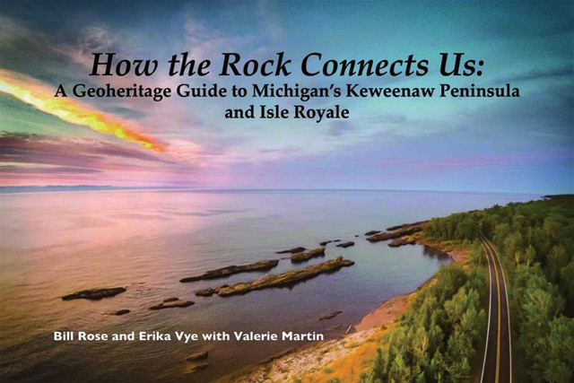
"How the Rock Connects Us: A Geoheritage Guide to Michigan's Keweenaw Peninsula and Isle Royale," by Bill Rose, Erika Vye and Valerie Martin, Isle Royale and Keweenaw Parks Association, 2017, ISBN 9780935289213
There is extensive literature on Michigan’s “Copper Country,” but most existing publications on the subject are either technical reports or anecdotal recountings of exploration, mining and life in the “wilderness.” A recent book, “How the Rock Connects Us: A Geoheritage Guide to Michigan’s Keweenaw Peninsula and Isle Royale” — written by Bill Rose and Erika Vye, both of Michigan Tech University, with Valerie Martin, a longtime Isle Royale interpretive ranger — fills a long-standing need for a readable, user-friendly explanation of how familiar Keweenaw landscapes and recent mining history are related to the area’s underlying geology. It is an eye-opener.
The Keweenaw’s geologic history is summarized in two major chapters: one very old and one very young. The first was a roughly 100-million-year-long interval more than 1 billion years ago that involved continental rifting, volcanic eruptions, the accumulation of great thicknesses of lava flows and sedimentary rocks, regional faulting and the formation of world-class copper deposits. The second chapter comprises a 2-million-year-long stretch during which vast continental glaciers of the most recent ice age repeatedly covered the region. The ice left behind a collection of distinctive features, including sand dunes, successions of beaches, large boulders from Canada, polished and grooved bedrock outcrops and even present-day Lake Superior.
Readers will learn that the western Lake Superior portion of the Midcontinent Rift has been filled by several hundred lava flows, including one — the Greenstone Flow — that is up to 450 meters thick, has been traced for a strike length of more than 65 kilometers, and is purportedly the largest single lava flow on Earth. This flow, now folded into a large syncline, crops out on both sides of the lake and forms major escarpments on each coast. The authors not only tell readers how such features formed, but also how to find them.
The authors also detail the extensive deposits of native copper that defined a major North American mining district that was worked continuously for more than 125 years. Exploration for and extraction of these deposits left a legacy of numerous waste dumps, known locally as “poor rock piles,” that continue to attract and reward mineral collectors of all ages today.
“How the Rock Connects Us” contains many illustrative photographs and understandable diagrams that help the reader recognize and interpret today’s landscapes in their geologic context. There are embedded QR codes on almost every page that guide the interested reader to relevant places in an extensive Keweenaw Geoheritage website (www.geo.mtu.edu/KeweenawGeoheritage) for additional information. The book is currently available at the Isle Royale National Park Headquarters in Houghton, Mich., online at https://IRKPA.org and at a number of local businesses.
© 2008-2021. All rights reserved. Any copying, redistribution or retransmission of any of the contents of this service without the expressed written permission of the American Geosciences Institute is expressly prohibited. Click here for all copyright requests.