
by Alan Fryar Monday, July 13, 2015
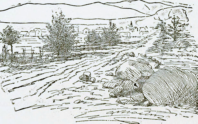
Field sketch from a page of, 'The Geology of New Hampshire: a report comprising the results of explorations ordered by the legislature.' Credit: Public Domain.
I’m not into camping, climbing or caving, but I like fieldwork. My mom, a science teacher, introduced me to collecting minerals and fossils. Before my senior year of high school, I followed my best friend to a 6-week summer research program at the University of Florida. When asked to choose a subject, I listed geology almost by default and was paired with a grad student studying groundwater seepage into a lake. Thirty-five years later, I’m still doing the same kind of work. I enjoy the relevance and intellectual challenge: It’s like playing MacGyver, trying to solve a puzzle with missing pieces and a limited set of tools. And the aesthetic appeal of being outdoors reinforces my occasional sense of accomplishment.
During my graduate studies, my research was all done on computers or in labs, so my first real field notebook came with my first full-time job as I was finishing my doctorate. That notebook still sits on a shelf in my office with five others, all with orange or yellow covers, some with split spines. Some have waterproof paper; the ink in others is smudged from sweat or rain or being dropped in a creek. (As a hydrogeologist, my notes are mostly on water depth, flow, temperature and chemistry; and they aren’t in pencil.)
My penmanship hasn’t changed much over the years, but throughout the notebooks, other handwriting appears intermittently, that of former students and colleagues. There are scattered glimpses of personality, like a student’s quip about taking readings along “the west bank (and Gaza Strip).” (In reality, we were along the west bank of Little Bayou Creek in Kentucky.) The pages distill a variety of conditions and places — freezing temperatures and hot-as-Hades temperatures, massive storms and malfunctioning equipment, streams in Kentucky, springs in Morocco and wells in Thailand — into prosaic measurements. There aren’t many diagrams, as I prefer taking photographs of field sites even though I’m not a great photographer.
I hadn’t thought much about the way I take field notes until December 2013. While attending the annual American Geophysical Union meeting in San Francisco, I slipped away from the technical sessions to see a retrospective of the British artist David Hockney at the de Young Museum. I was struck first by the huge painted panels showing woodlands and fields near Hockney’s Yorkshire home in different seasons. I’d never visited England, but those landscapes felt evocative. It’s like watching Little Bayou Creek, I thought. I’ve waded that ankle-deep tributary to the Ohio River dozens of times over more than a decade of monitoring. From the same vantage point, I have shots of the channel rimed with ice in January, partly overgrown with weeds during a summer drought, and dotted with rafts of leaves in fall.
Moving through the exhibit, I marveled at Hockney’s iPad still-lifes, then pored over pages of his sketchbooks. How does he know when he’s drawn enough to capture the object? I wondered, and I realized the analogy in my milieu: At a given site, how many water measurements are sufficient? For a scientist, there are rigorous statistical ways to answer that, but there’s also a certain degree of subjectivity. On the way out of the exhibit, I lingered before charcoal sketches of a country lane, as well as video screens showing 18 synchronized views of a similar lane during a slow drive.
This got me thinking about how to integrate digital technology into field geology courses, an issue my department has been discussing for several years. Besides using Brunton compasses, students (who never seem to be without their smartphones) need to be able to locate themselves with GPS, to geotag pictures and to enter field observations into GIS layers. I’ve always loved maps, but they’re no longer the static paper objects covering fixed areas they once were. Anyone who has zoomed in with Google Earth or used a Garmin or Magellan while driving appreciates the power of digital geospatial data. It has transformed not just our science, but everyday life.
Last fall, a visiting speaker talked about the advantages of taking field notes using ruggedized tablets and the ease of uploading data. During the class discussion the following week, I was surprised and heartened that several students argued for traditional note-taking. It’s a sound way to develop fundamental competencies without worrying about losing your measurements (for example, by dropping your device in a creek).
My day at the de Young helped me appreciate how digital and manual representations of nature can be complementary. Now 78, David Hockney has defied left-brain/right-brain categorizations and generational stereotypes as an enthusiastic adopter of technology, using fax machines, color printers and the iPhone as canvases. Yet he still draws and paints by hand. His work illustrates the value of seeing one’s subject matter from multiple perspectives and using multiple platforms to record and communicate one’s work. Beyond aesthetics, those are important skills for geologists too.
© 2008-2021. All rights reserved. Any copying, redistribution or retransmission of any of the contents of this service without the expressed written permission of the American Geosciences Institute is expressly prohibited. Click here for all copyright requests.