
by Julia Rosen Wednesday, March 4, 2015
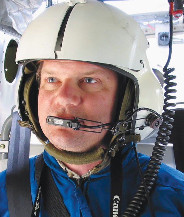
Jonathan Godt on a helicopter survey of a landslide in Central California. Credit: USGS.
Over the last year and a half, the Western U.S. has suffered a rash of devastating landslides. The streak began in September 2013, when heavy rains triggered widespread debris flows across the Colorado Front Range. Then came the tragic landslide that buried Oso, Wash., killing 43 people. Two months later, the West Salt Creek slide, a behemoth rock avalanche in western Colorado, killed three people as it barreled down a 5-kilometer-long path.
When large landslides strike, phones ring in hospital emergency rooms, police stations, newsrooms and the dispatch offices of search and rescue crews. But another group of responders also gets the call: landslide experts at the U.S. Geological Survey (USGS). The USGS Landslide Hazards Program, like all the agency’s hazard programs, has a response team that heads out to disaster sites to lend expertise and to learn from the event.
EARTH staff writer Julia Rosen recently sat down with three members of the USGS landslide response team to learn about their work. She spoke with Jonathan Godt, the coordinator of the USGS Landslide Hazards Program, based in Golden, Colo.; Jeff Coe, a landslide geologist with the Geologic Hazards Science Center, also in Golden; and Mark Reid, a member of the Volcano Hazards Program in Menlo Park, Calif., who specializes in landslides.
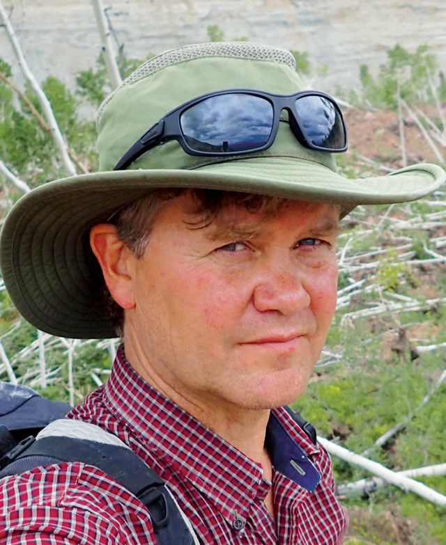
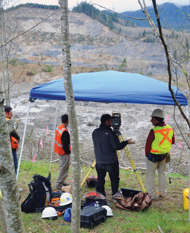
Jeff Coe at the West Salt Creek rock avalanche in western Colorado. Credit: USGS.
JR: When are you called to a landslide?
JG: There are obviously a lot of landslides around the country and around the world in different mountainous places. Most occur without us doing anything — most of them occur without us even knowing about them, to be honest. The ones we respond to are those where a federal presence would be warranted or needed. So, often, this comes at the request of another agency, like the state geological survey.
JC: It could also be a federal partner, like the Forest Service or the National Park Service.
MR: Also, we respond when the Federal Emergency Management Agency declares a disaster and they ask specifically for landslide expertise.
JR: How quickly do you respond?
MR: When there’s a large event, either in one location or widespread over a region, we’ll usually be asked within days to come out and assess what happened and if there is any continuing hazard associated with any of those slides. Normally, we are not there during search and rescue operations because we don’t want to get in the way.
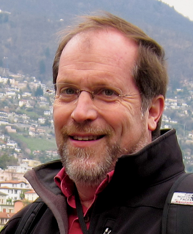
Mark Reid at a landslide in Switzerland. Credit: USGS.
JR: What do you do when you arrive?
JC: Typically, we first meet with whomever requested our expertise. We often meet with them in a command center location. In other cases, we meet out in the field at the site. The main thing we bring is our expertise in being able to assess what has happened, and what the potential for ongoing movement or future movement is. Those are usually the things we are most concerned about when we respond.
JR: What, specifically, are you trying to assess?
MR: There are a wide variety of landslides. Some move slowly and cause immense property damage, but it’s the fast moving ones that end up killing people. The types of observations we need to make depend on exactly what has happened. So one of the first things we do is to assess the flavor of landslide that happened, what it did in terms of damage, and what the potential is for more of that kind of thing to happen.
JR: What does that actually look like in practice?
JC: Field mapping — either on an aerial photo or some other base, or just a quick assessment that you draw in your notebook, for example. We do field assessments of fractures, water — anything that can affect the slope stability.
MR: One thing for big slides is to determine if there are fractures above the slide that might continue to open and lead to more failure in the same place. Measuring the size of those cracks is often very important.
JC: On timescales of minutes to days, if you notice acceleration in the opening, you have cause for concern.
MR: For larger events, it’s also very important to get up in the air and get some perspective. Some of these events can extend over multiple states, for example, because of a big storm. People often focus on what’s right in front of them, but it’s important for us, as a federal agency, to get the big picture.
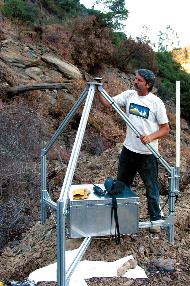
Rick LaHusen of the U.S. Geological Survey, shown with one of the "spider" units he developed for use on active volcanoes. Spiders, which are outfitted with high-precision GPS and a seismometer, can be used for real-time monitoring of landslide activity and are usually deployed by helicopter sling-load. Credit: USGS/Mark Reid.
JR: What tools do you use to make these observations?
JC: One of the things we have found to be really useful are unmanned aerial vehicles, which capture high-resolution imagery that is really quite useful for looking at topography and changes in topography.
MR: Some tools we have, like ground-based lidar scanning, allow us to do repeat scans on certain areas and do change detection. Again, we’re focusing on deformation. We’re looking to see if something is moving. Is it accelerating? Will it move faster? Those are the kinds of things we tend to focus on in the near term.
JG: The imagery and some of those data products are not only useful for assessing the threat potential, but they have proved incredibly valuable for communicating what we understand or what we forecast may or may not happen. They are useful to communicate that information to people who are making decisions on the ground, as well as to the public, the media and others.
JR: I’ve heard about rapid-response tools called seismic “spiders” — how do they work?
MR: The USGS Volcano Hazards Program developed these portable instrument stations, called spiders, for monitoring volcanoes. We have used them for a couple of landslide sites where we put continuous GPS and usually some flavor of seismometer on it as well. They are airlifted out by helicopter sling-load so that we don’t have to endanger people going on an active slide. The spiders have radio telemetry that comes back to us, and we can look at deformation and ground vibration from the seismic signals in real time.
JR: What can you learn from that?
MR: A lot of slides do their thing and then are over and done with, but some move episodically — periodically, they start and stop. The kind of landslide that monitoring is particularly useful for is the kind that moves slowly and then takes off and goes rapidly. With monitoring, maybe we could forecast that kind of change in behavior.
JR: How advanced is landslide monitoring?
MR: In a lot of ways, it’s in its infancy. When you have real-time data coming in, it’s quite a challenge to figure out what it means. Just having the monitoring itself is part of the equation, but it’s not sufficient. We really need to develop better near-real-time tools to analyze these data, and better models of what we expect to happen to be able to make forecasts once we have this data coming in.
Monitoring movement at the Oso landslide during recovery operations on April 8, 2014. From left to right: Bryan Garcia, Washington State Department of Natural Resources; Bill Schulz, USGS Landslide Hazards Program; Riis Hotson, Snohomish County Department of Public Works; and Brian Collins, USGS Landslide Hazards Program. Credit: USGS/Jeff Coe.
JR: How long do you normally spend in the field after a landslide?
JG: After the Colorado floods, we spent about three weeks working on that response and documentation. And we had people on site or working on Oso for more than a month. Not a single individual, but people rotating through while the search and rescue operations were going on there.
JC: For West Salt Creek, we had two people who responded for two weeks in the initial emergency response, and then we had two people on site for five weeks this past summer doing follow-up work.
JR: You don’t often think about geologists as having jobs where they have to drop everything and go. How does responding to these events affect your life?
JC: It’s disruptive, but you kind of get used to it. You realize, at a certain point, that that’s one of the more exciting parts of our job. You don’t want to do it all the time, but when you are called upon to do it, it’s exciting and rewarding. It can definitely be stressful too.
MR: In addition, it’s one of the times when you can really learn things. It opens your eyes to see what’s happening in different places. It can be challenging to deal with but I think, in the end, you feel like you’ve done something “real.” You’ve gone out and dealt with an actual situation and you’ve often provided crucial information to other people. It’s not just an ivory-tower experience.
JG: We are geologists and scientists, but we are focused on natural hazards. There’s a real societal need for that understanding. One important aspect is to give [younger researchers or those new to the team] some context, to say, ‘OK, this is what you’re trying to understand.’ Without that on-the-ground, seat-of-the-pants experience, it’s tough to put it into context.
JR: What does this teach you that would have been hard to learn in the lab?
JC: An example I’ll use is from the Front Range in Colorado two Septembers ago. That was a widespread event — it affected an area the size of Rhode Island. That was an unprecedented opportunity because it occurred over such a wide variety of geology and slope and soil conditions. You wouldn’t be able to manage that in a lab experiment. It was a large-scale natural experiment, if you will.
JR: What have you learned about landslide hazards from these events?
JG: I would say that both the Oso and West Salt Creek responses have been striking in that these are large landslides that moved very far and moved rapidly. And they occurred in locations where there have been other smaller landslides that have been well recognized in the past. In both these cases, the behavior — in terms of travel distance — changed dramatically compared to past landslides, which influenced the level of impact. At least for me personally, it changed the way I think about what the landslide threat is and what’s possible.
MR: Mobility of slides really governs how deadly and destructive they are. The slides that are big and fast have huge potential to do damage, if they run across flat ground like they did in Oso. On flat ground, people don’t think about landslide hazard — they’re usually worried about hillslopes. It’s this long runout-business that can really change what the hazard actually is at a particular spot.
JC: With all of these events, we pretty much said they were historically unprecedented. That drives home the point that you need to look beyond the human timeframe. In these recent examples, as Jonathan mentioned, the slides started from existing landslides. And adjacent to these sites, there were older landslides that looked very similar. I realized that to do really accurate hazard assessments, you need to know the ages of past landslide deposits and the style of movement they had when they occurred.
JR: Have you learned anything about how to improve your response effort?
JC: We’ve known this all along, but it was really driven home for me at Oso and West Salt Creek, just how proactive you need to be with communication with your partners. You can’t be shy about speaking up. If you see something that’s going on that might affect people on the ground, you really have to make what you are thinking known right away.
I also learned the value of public meetings, and how those public meetings can really help to calm a community. I think, going forward on these emergency responses, having a public meeting to let the local folks know what’s going on and what responders are doing is really important. I would say it’s essential.
© 2008-2021. All rights reserved. Any copying, redistribution or retransmission of any of the contents of this service without the expressed written permission of the American Geosciences Institute is expressly prohibited. Click here for all copyright requests.