
by Emily Underwood Tuesday, January 13, 2015
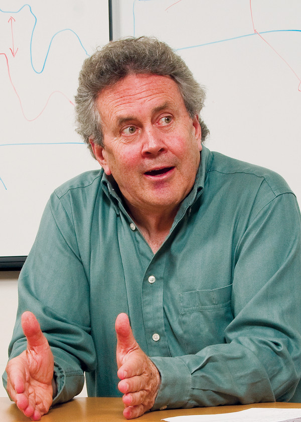
Jeff Dozier founded the Bren School of Environmental Science and Management at the University of California at Santa Barbara. Credit: Courtesy of Jeff Dozier.
It’s mid-January. Snow hydrologist Jeff Dozier relaxes at his sister’s cabin near Lake Tahoe, his bare feet resting on a coffee table. His teenage son, who spent thJeff Dozier (middle) and friends in the Hindu Kush in the 1970s.e day competing in a ski race, lounges on the couch beside his father, listening to music. Snacking on cheese and crackers, the two look utterly content.
Outside, the slopes of the Sierra Nevada are barely dusted with snow — a scary sight to Californians who rely on snowmelt for more than half their water supply. Throughout the state, people are talking about drought. Some say this winter’s snowpack is the thinnest in a century. Figuring out precisely how much snow is in the mountains is Dozier’s job, however, and he’s not convinced the snowpack is a record low: “People are saying we haven’t seen anything like this since the 1800s, and that’s not quite true,” he says. “1977 was the driest [winter] on record, and 1991 was pretty similar through February, until it snowed heavily in March. In statistics there is this thing called the law of large numbers … the rare events do happen.”
Since 1974, Dozier has been teaching at the University of California at Santa Barbara, where he founded the Bren School of Environmental Science and Management. He worked as senior project scientist for the nascent NASA Earth Observing System from 1990 to 1992, and, among other awards, has won the Department of the Interior/NASA William T. Pecora award, the NASA public service medal and the 2009 Jim Gray Award for exceptional achievement in the field of data-intensive computing from Microsoft. He has also helped lead six expeditions in Afghanistan’s Hindu Kush range, where he made 12 first ascents, and has had a popular climbing destination near Yosemite named after him: Dozier Dome.
He chatted with freelance writer Emily Underwood about mountain climbing, snow hydrology and remote sensing.
EU: How did you become interested in snow hydrology? Were you a climber or a scientist first?
JD: I actually flunked out as an undergraduate. When I got to college I got really interested in climbing and it just consumed me for a while. I dropped out after a year and a half, earned money for a year, and went to Europe. I climbed there and studied German and then I hitchhiked to India. By the time I got back, I had turned 21 and knew that I wanted to learn about Earth’s water and climate.
After that, school was pretty easy. I went to the University of Michigan for grad school and did my master’s thesis on supraglacial streams — streams that flow on top of glaciers. Because I was also a climber, I was interested in avalanches. In 1974 I was climbing in the Hindu Kush and we were on a fairly steep snow slope. There were three of us and one of us said, “Do you think this slope might avalanche?”
We had no clue — at 20,000 feet you’re sort of stupid anyway — but I was interested enough to take an avalanche course later and I realized that a lot of stuff that I already knew could be applied to snow in the mountains. I started my job at UC Santa Barbara, got interested in remote sensing, and wrote a proposal to NASA to do some snow hydrology using remote sensing in a cooperative program with the Russians, comparing the Sierra Nevada and the Fergana Valley in the Caucasus. That’s when it all came together for me: the study of snow, this fairly abstract stuff with remote sensing, and being in the mountains all the time. My hobby and my job came together.
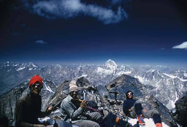
Jeff Dozier (middle) and friends in the Hindu Kush in the 1970s. Credit: Courtesy of Jeff Dozier.
EU: What is remote sensing of snow, and how has it changed the way you work?
JD: I use satellite measurements of the reflectance of the sun’s radiation off the snowpack to interpret the physical properties of the snow: where it is, how bright, how continuous. But I also dig a lot of snow pits where I measure similar properties. I try to couple what I can measure from satellites to what I can measure on the ground, so that I can estimate snow properties over whole mountain ranges, like the Sierra Nevada where we have ground data to validate what I think I see from space, but also like the Hindu Kush and the Himalaya where ground measurements are sparse.
EU: As the John Nye Lecturer at the annual meeting of the American Geophysical Union in December 2010, you talked about a new technique of satellite imaging that allows you to see snow in spectacular hues. First of all, snow appears white, so how does that work? And what can you learn from these different colors?
JD: An individual snow crystal is not white; it is transparent. So what happens when light throughout the visible spectrum goes into a snowpack? It bounces around, but because ice is so transparent, few of the individual photons get absorbed.
Out into the wavelengths beyond what you can see — what we call the near-infrared, just beyond the red [wavelengths] — ice and water both become more absorptive. One way of thinking of this is, if you’re shining light through water, and it’s getting absorbed as you go along, how far does it go before you lose half of it? This distance, what I might call a half-decay distance, is similar to a half-life. In the visible spectrum — in the wavelengths that your eyes can see — that distance is tens of meters. When you get in the near-infrared part of the spectrum, that distance is only a millimeter or so.
When you get to the part of the spectrum where this half-decay distance is only a millimeter, the size of the snow crystal makes a difference. The reflectivity of a set of crystals — a snowpack or a cloud — is much brighter in these wavelengths when the crystals are smaller. In these wavelengths, clouds are brighter than snow, so you can distinguish between them. In the snowpack, the ice crystals grow during the year, especially in the spring when they melt and refreeze, so the snow gets darker in the wavelengths beyond what your eyes see.
About half the incoming solar radiation is in wavelengths beyond the visible spectrum, and the darker snow absorbs more of it. So in the spring there is more sunlight and the days are longer, and the snow absorbs more and therefore starts to melt. Normally we think of “color” in only the visible spectrum, but I like to think of color independently of what our eyes can see. If we could see in the near-infrared, the variability in the snow would be striking, much like the colors of the leaves in a New England autumn, and this variation in color is important to the rate at which the snow will melt.
EU: What is the biggest challenge in snow hydrology?
JD: The measurement of snow-water equivalent — the amount of water produced when snow melts — is the major problem in snow hydrology, because that’s the variable that is directly related to how much water will percolate into the groundwater and flow into rivers.
It’s even hard to measure at the surface for a couple of reasons. One, snow moves around after it’s on the ground. Where do you measure? Second, the measurement techniques themselves are faulty. You can get an accurate measurement by digging a snow pit — a hole from the snow surface to the soil, big enough to get into — but you can’t do that everywhere. They also do it with tubes, but if you’ve got snow that’s a little wet at the surface, the tube can get clogged up.
EU: How close can satellite remote sensing come to detecting snow-water equivalent?
JD: That’s what I’m trying to figure out. In the mountains, we cannot directly measure it with satellites, but we can tell how bright the snow is and when it disappears, and we can then estimate how much energy had to go into melting it so we can therefore know how much there was. We are currently comparing these estimates, entirely derived from space, with ground measurements and with river flow.
EU: What applications exist today for the work you are doing in snow hydrology, and what do you envision for the future?
JD: In mountain ranges like the Sierra Nevada, the surface network is good, so I think our methods can help improve forecasts of the spring snowmelt. The improvements would likely be significant but not spectacular. What I really want to do, though, is use the Sierra Nevada to test how well we do from satellite, and then use the same methods to analyze the snowpack in other mountains — like the Hindu Kush — with austere infrastructure, meager gauging, challenges of accessibility, and emerging or enduring insecurity related to water resources.
© 2008-2021. All rights reserved. Any copying, redistribution or retransmission of any of the contents of this service without the expressed written permission of the American Geosciences Institute is expressly prohibited. Click here for all copyright requests.