
by Mark C. Serreze Wednesday, November 15, 2017
An ice floe slides down the starboard side of the Coast Guard Cutter Healy. Credit: USGS.
Over the past couple of decades, the Arctic has warmed more strongly than the rest of the planet. A big question within the climate research community is whether Arctic amplification has the potential to influence — or may already be influencing — weather patterns in the middle latitudes. The short answer is: We don’t know for sure, but it’s quite likely, with the results being more persistent weather patterns at midlatitudes that can lead to extreme events.
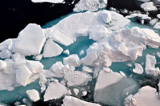
The amplification of warming in the Arctic does not have a single cause, but climate feedbacks related to the Arctic’s shrinking sea-ice cover are known to play big roles. The sea ice starts melting earlier in spring than it used to, exposing more areas of dark, open ocean water that readily absorb the sun’s rays, helping to melt even more ice. The result is that at summer’s end, there is more heat in the top 20 meters or so of the Arctic Ocean than there used to be. When autumn comes, and the sun sets over the Arctic Ocean, this heat is released, warming the overlying atmosphere. Thus, Arctic amplification of climate warming is most noticeable during the autumn and winter seasons.
Arguments about how Arctic amplification can alter weather at midlatitudes center on how the warming affects the polar front jet stream — the ribbon of strong winds found high in the atmosphere that controls a good portion of winter weather at midlatitudes.
The jet stream essentially represents a boundary between cold air to the north and warmer air to the south, which results in a horizontal pressure-gradient force that increases with altitude. The stronger the temperature gradient, the stronger the pressure gradient, and hence, the stronger the jet stream winds. Because the biggest difference in temperature between lower and higher latitudes occurs in winter, the jet stream is strongest during this season.
The jet stream blows broadly from west to east, but the actual track of the jet stream is wavy and undulating. The jet stream dips to the south in some places, forming what are known as troughs, and extends north in others, forming what are known as ridges. Long undulations between troughs and ridges span continents, with shorter undulations embedded within. The wavy pattern is always changing; and cyclones (storms) and anticyclones (high-pressure systems) at the surface form along preferred areas of these waves and are steered by them. Colder air to the north of the polar jet stream is termed “the polar vortex.” And cold snaps that occur during winter, in places like the Upper Midwest, happen when a trough invades a region, bringing with it the polar vortex.
It follows that if the Arctic strongly warms via Arctic amplification, the south-to-north temperature gradient will change, in turn changing the pressure gradient and the jet stream. Since the Arctic amplification due to sea-ice loss is biggest in autumn and winter, when there are big heat releases from the Arctic Ocean to the atmosphere, this is also when Arctic effects on the jet stream should be most prominent, but some studies have also identified possible effects in summer related to earlier seasonal melt of the Arctic snow cover over land.
Some scientists have argued that the effect of Arctic warming is to make the jet stream wavier — that is, to have more pronounced troughs and ridges — and that such amplified trough and ridge patterns can become “stuck” in place for extended periods of time. For example, an amplified pattern could drop a trough over the central U.S., plunging Chicago (and even areas farther south) into a deep freeze, while at the same time an amplified ridge to the west could rise over Alaska, bringing a spell of unseasonably warm temperatures that would interfere with winter traditions like the Iditarod Trail Sled Dog Race.
However, other scientists argue that the Arctic amplification due to sea-ice loss is confined to a fairly shallow layer near the surface, and does not extend high enough into the atmosphere to strongly affect the jet stream. Still others have argued that strong warming observed at higher levels in the Arctic atmosphere is actually the result of heat transported to the Arctic due to weather pattern changes forced by what is happening in lower latitudes, such as especially high sea-surface temperatures in the tropical Pacific.
The scientific debate has been vigorous and, at times, even contentious, but the weight of evidence is now strongly leaning toward an Arctic influence on midlatitude weather. In 2014, the National Research Council of the National Academies of Sciences, Engineering and Medicine released a study evaluating the state of knowledge at the time. Since then, interest in the topic has only grown, but finding all of the answers takes time. One sure bet is that the Arctic will continue to lose its summer sea ice and spring snow cover, so if Arctic amplification is indeed having an influence on the jet stream and weather patterns in the middle latitudes, these influences will become more prominent in coming decades.
© 2008-2021. All rights reserved. Any copying, redistribution or retransmission of any of the contents of this service without the expressed written permission of the American Geosciences Institute is expressly prohibited. Click here for all copyright requests.